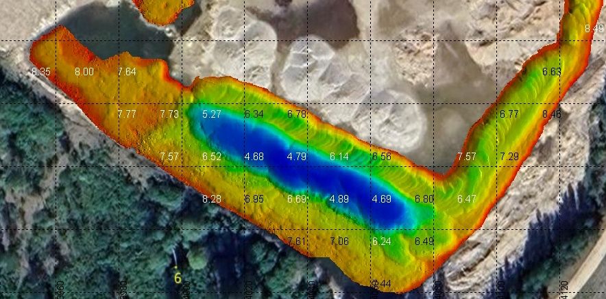
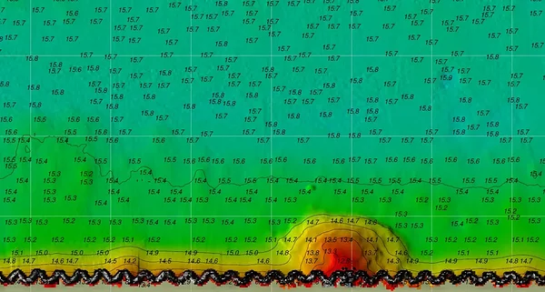
Hydrographic surveying: Mapping the seabed of port areas, fairways, and special‑purpose water bodies with 100% coverage (full bottom coverage).
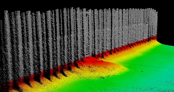
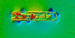
Inspection of hydraulic engineering structures: Detailed examination of quay walls, bridge piles, dams, water intakes, and pipelines for defects, erosion, and deformation.
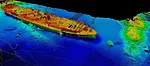
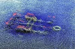
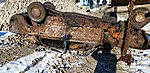
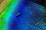
Underwater object search: Detection, location, and identification of submerged objects, pipelines, cable lines, navigational hazards, and large debris.
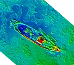
Dredging supervision: Construction oversight, volume calculations in PDS, and seabed monitoring.
Data: BATHY and SS (bathymetry and side-scan), WaterColumn, Snippets and Multidetect, Backscatter

Inspection of hydraulic engineering structures: Detailed examination of quay walls, bridge piles, dams, water intakes, and pipelines for defects, erosion, and deformation.


Underwater object search: Detection, location, and identification of submerged objects, pipelines, cable lines, navigational hazards, and large debris.


Dredging supervision: Construction oversight, volume calculations in PDS, and seabed monitoring.
Data: BATHY and SS (bathymetry and side-scan), WaterColumn, Snippets and Multidetect, Backscatter